Barndominium Builders in Russellville, AR
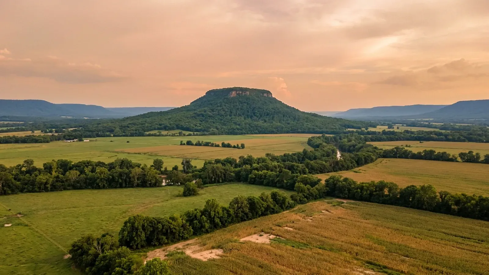
Russellville is the principal city of the Arkansas River Valley, about 29,500 people on 29.05 square miles between Lake Dardanelle and the Boston Mountains front. It is one of the few Arkansas cities that puts its whole residential permit fee schedule in an ordinance rather than on a handout — Ordinance 2452, effective 1 January 2024, values a new house at a flat $95.00 a square foot and then runs that figure down a sliding scale. Two other things shape a barndominium here: an accessory-structure rule that measures your shop against the heated area of your house and changes at two acres, and ground that in this county carries rock within twenty inches of the surface across nearly half its area.
Russellville at a glance
- County
- Pope County
- Population
- 29,521
- ZIP codes
- 72801, 72802
- Site visits
- Russellville and the Arkansas River Valley either side of Lake Dardanelle sit inside our regular working range, so a site walk on sloping ground, a look at how a parcel drains and a trip to the permitting counter on North Knoxville Avenue are routine rather than a special arrangement.
Building conditions in Russellville
The State's code reaches every parcel in Arkansas, including rural and unincorporated land. What is not everywhere is the office that checks it: a city or county is authorised to set up a building department, not required to, and a great deal of rural Arkansas never has. So the first question on any parcel is not what the code says — that part travels — but whether anyone here issues a permit, inspects the work, or publishes the design criteria your drawings still have to satisfy. Where nobody does, the obligation does not go away. It just moves to the appraiser, the insurer, your lender and whoever buys the place from you.
https://www.russellvillearkansas.org/DocumentCenter/View/11654
https://www.russellvillearkansas.org/DocumentCenter/View/1041/Russellville-Zoning-Code-PDF
Also worth knowing before you build in Russellville
- Article I of Pope County's building chapter is one word long
- The Pope County Code of Ordinances, published by the Association of Arkansas Counties Risk Management Fund under A.C.A. § 14-14-903 and hosted in PDF by Municode, has a Chapter 13 headed "Urban / Rural Development." Its Article I is headed "BUILDING" and its entire content is the word "Reserved." Article II, "Planning / Zoning," reprints A.C.A. §§ 14-17-209 and 14-17-210 and then contains exactly two county provisions: a 1995 ordinance routing preliminary and final plats in the unincorporated county to the Pope County 9-1-1 business office for addressing, and the 2019 Master Plan. There is no county zoning ordinance and no county building permit for a dwelling.
- Russellville repealed its one-mile planning ring in February 2026 and named Act 314 while doing it
- Ordinance 2549, passed by the City Council on 19 February 2026, struck Zoning Code Article 1.12 "Extension of Land Use Authority" in its entirety. The ordinance's own Exhibit A explains the change in a single line: "This update has been made to repeal the section of Zoning Code allowing for extraterritorial jurisdiction (planning boundary), in compliance with Arkansas Legislative Act 314 of 2025." The struck text had claimed authority under A.C.A. § 14-56-413 to "administer and enforce planning, land subdivision and development, and zoning codes in an area up to one mile beyond the corporate limits." Act 314 repealed § 14-56-413 outright in 2025, and Russellville is one of the few Arkansas cities to have gone back and cleaned the repealed section out of its own code by name.
- The consolidated zoning code the city publishes still prints the article that was repealed
- The Russellville Zoning Code PDF on the city's Planning and Zoning page carries a page footer dated 7/18/2026 and an update log that lists "Ordinance 2549 … updating Articles 1.12, 3.14.1 (2), 5.12.2, 7.4.1 (3), and 7.8." Turn to page 14 and Article 1.12 is still there in full, still reciting A.C.A. § 14-56-413 and the one-mile ring. The ordinance is the law and the consolidated PDF has simply not been re-set. The city's Land Subdivision and Development Code, whose own update log stops at an ordinance adopted 17 July 2025, likewise still applies "to all lands within the city and its Planning Jurisdiction and, also, to lands either contiguous to or served by Russellville's city water or Russellville's city sewer," with a Planning Jurisdiction Map on file with the Pope County Recorder. If your parcel is just outside the limits, read the ordinance, not the handbook.
- The building counter in Russellville sits inside the Fire Department
- Arkansas does not create local building departments; the Fire Prevention Code says only that local jurisdictions "are authorized to establish" one. Russellville threw that switch in its own words. Ordinance 2452, Exhibit 1, Subchapter 2, Section 2: "Pursuant to the current edition of the Arkansas Fire Prevention Code, Volumes II and III, there is hereby established a Department of Building Safety within the Russellville Fire Department as a division and under the direction of a Building Official who is appointed by the Mayor of the City." Section 1 does the same for a Department of Fire Prevention under a Fire Code Official appointed by the Fire Chief, and Section 6 of the ordinance puts fee collection with the Fire, Building & Safety Division. Ordinance 2450 § 6 adds that wherever the adopted state codes name an official, "the Fire Marshal and Building Official shall be the designated individuals to enforce said Codes."
- Nearly half of Pope County has rock within twenty inches of the surface
- Queried against the USDA-NRCS Soil Data Access service for survey area AR115, Pope County's 531,315 mapped acres break down like this: 242,871 acres — 45.7 percent — have bedrock within 50 centimetres, about 20 inches, of the surface; 298,127 acres, 56.1 percent, carry a lithic, paralithic or densic restriction within 152 centimetres; 207,867 acres, 39.1 percent, sit at 12 percent slope or steeper, and 164,757 of those, 31.0 percent of the county, are at 20 percent or steeper. Hydrologic soil group D covers 284,351 acres, 53.5 percent, with another 9.0 percent rated C/D. That is the Arkansas River Valley in one table: shallow rock and steep ground on the ridges and mesas, slow-draining soil almost everywhere, and deep alluvium only in the bottoms.
- The most extensive soil in the county is twelve to twenty inches deep to sandstone
- Mountainburg is the single largest major soil component in Pope County at roughly 130,300 acres — a quarter of the mapped survey area. Its NRCS Official Series Description gives "Depth to Bedrock: 30 to 51 cm (12 to 20 inches)", "Depth Class: Shallow", and a typical pedon described at 20 percent slopes with slightly weathered sandstone at 18 to 20 inches. Nella is next at about 83,800 acres, then Linker at 66,500, then the two Enders components at about 71,300 acres combined. Enders is the clay one: the series description calls it "very slowly permeable", with average clay content in the upper 20 inches of 35 to 60 percent over soft shale that "can be ripped with heavy earth moving equipment." A footing trench on a Mountainburg ridge and a footing trench in Enders clay are two different jobs on the same afternoon.
- Two of the soil series under Russellville were first described in Pope County
- The LINKER series, a moderately deep upland soil with "Depth to Bedrock: 51 to 102 cm (20 to 40 inches)" over acid sandstone, has its type location at "County: Pope, State: Arkansas, USGS Quadrangle: Hector … 2.4 miles north of Moreland on Buck Mountain, 300 feet east and 50 feet north of road turn, on crest of ridge." The DARDANELLE series — "very deep, well drained, moderately permeable soils that formed in loamy alluvium … on level to undulating bottomlands along the Arkansas River," with a solum 44 to 70 inches thick — has its type location in Pope County too. Those two descriptions are the whole local foundation question in miniature: 20 to 40 inches to rock on the ridge, more than five feet of loam in the river bottom, and both of them inside the same county.
- Russellville's flood maps are seven years older than the county's
- FEMA's Community Status Book lists the City of Russellville as NFIP community 050178, participating, with an initial Flood Insurance Rate Map dated 17 July 1970, regular programme entry 18 July 1970 and a currently effective map date of 17 April 2012. Pope County itself is community 050458, with an initial FIRM of 1 July 2009, regular programme entry the same day, and a currently effective map dated 21 March 2019. The unincorporated county did not enter the regular programme until 2009 and its maps are now seven years newer than the city's. Pope County's own Flood Damage Prevention Code, adopted by reference and dated 21 March 2019, is built on the Flood Insurance Study for Pope County dated 21 July 2017, and is run by a county Floodplain Administrator. Neither city nor county participates in the Community Rating System discount programme.
- A one-acre floor applies to a lot on public water with a septic tank
- Arkansas's own onsite wastewater rule sets no statewide minimum lot size. Russellville sets one. The Land Subdivision and Development Code provides that "Lots served by a public water system and proposed to be served by a septic tank system must submit at the time of preliminary plat filing a written certification of approval by the Arkansas State Department of Health. The lot sizes shall be not less than one acre." The same code requires sewage disposal "via a connection to a public sanitary system where feasible and where not feasible each lot shall serve by a septic system be approved by the Arkansas Health Department." On the city fringe, where rural water reaches further than sewer does, that one-acre line is often the rule that sizes the parcel.
- A five-acre-or-greater split is not a subdivision in Russellville
- Article 1.7.1 of the Land Subdivision and Development Code: "The division of land into tracts of five acres or greater which does not involve the dedication, vacation, or reservation of any public or private easement, including those of public or private utilities, through any of the tracts involved shall not constitute a subdivision." Article 1.6.1 catches the other side — any split of a tract into two or more parcels "any of which, when subdivided, shall contain less than five acres in area" is a subdivision and goes through platting. So a five-acre homesite carved off a larger holding sidesteps the plat process entirely, provided no easement is created with it; a four-acre one does not. That single number decides how long the paperwork takes on a great many River Valley parcels.
- Fourteen named inspections, and the site-grade one carries a number
- Russellville publishes its inspection sequence for single-family dwellings in full: temporary power pole; footings and setbacks/foundation; under-slab rough-in plumbing; slab, termite control and vapour barrier; MEP rough-in; framing and glazing; insulation; fire separation; utility release; electrical panel release; life safety; site grade; sidewalks, driveways and ADA ramps; and final. Two details matter on a metal-clad house. At the footing inspection, "If the site conditions dictate a special design, then an engineer's report (design) is required to be on-site" — which on 39 percent of this county's ground is not a hypothetical. And the site-grade inspection has a published tolerance: the inspector verifies "that the grade falls a minimum of 6" within the first 10 feet or with exception, that impervious surfaces within 10 feet of the building's foundation have a slope of 2% away from the foundation."
- Arkansas's only nuclear plant sits six miles west, and it changes nothing about a building permit
- The Nuclear Regulatory Commission's own facility record for Arkansas Nuclear One, Unit 1 gives its location as "London, AR (6 miles WNW of Russellville, AR)", operated by Entergy Operations, a pressurized water reactor licensed on 21 May 1974 with a renewed licence running to 20 May 2034. The NRC describes two emergency planning zones around any plant: a plume exposure pathway "extending about 10 miles in radius around the reactor site" and an ingestion exposure pathway "extending about 50 miles in radius." Those zones are protective-action planning boundaries — sheltering, evacuation routes, potassium iodide — administered through state and county emergency management. They are not a land-use overlay, they set no setback, and nothing in the Russellville Zoning Code, the city's permit ordinances or the Pope County code conditions a house on them.
https://library.municode.com/ar/pope_county/codes/code_of_ordinances
https://www.russellvillearkansas.org/DocumentCenter/View/13140
https://www.russellvillearkansas.org/DocumentCenter/View/1041/Russellville-Zoning-Code-PDF
https://soilseries.sc.egov.usda.gov/OSD_Docs/M/MOUNTAINBURG.html
https://www.russellvillearkansas.org/DocumentCenter/View/229
https://www.russellvillearkansas.org/DocumentCenter/View/229

The expensive surprises are in the ground, not the building
What moves an Arkansas budget is usually below grade, and the state hands you a different problem depending on where you stand. In the Delta the issue is shrink-swell clay that moves with the season, and it is the reason a wide, light building with a big slab and a big door opening is the shape most at risk. Along the Fall Line there is a second, separate clay belt with nothing to do with the Delta at all. Up in the Ozarks the question inverts: what matters is not what the slab sits in but what is under it, because that limestone is full of solution cavities and the collapses arrive with no prior indication at the surface. And on Crowley's Ridge, where Jonesboro and Paragould sit, it is fine wind-blown loess that stands up in a vertical cut and then erodes out from under whatever you put on it. The same ground decides your wastewater system, which is the gate that most often moves a rural build's schedule — and it is soils that decide it, not the size of the house. So the site work, the foundation and the wastewater get resolved together rather than one at a time. We price the dirt before we price the building.
What we build in Russellville
All nine services are available in Russellville. What a build costs depends far more on the parcel than on square footage, so we price against your land rather than publishing a rate card.
Custom Barndominium Plans
Barndominium floor plans, elevations and engineered documents drawn to your parcel — and to the design numbers your Arkansas jurisdiction publishes.
Barndominium Kits
Engineered barndominium shell packages for Arkansas land, drawn to a named jurisdiction's criteria rather than to a national vendor's generic spec.
Turnkey Barndominium Builds
Land through handover under one contract, and a straight answer on what actually gates a barndominium build on rural Arkansas land.
What a build looks like
Three stages every Russellville project passes through, from a raw parcel to a finished home. Site work first, because that is where the budget is decided.

The parcel
Zoning, setbacks, flood zone and utility access get checked before anything is drawn.
Pad and permit
Clearing, grading and a compacted pad, while the submittal works through whichever office issues the permit where you are building.

Frame to finish
Shell erected and dried in, then systems, insulation and interior finish through to CO.
Those are the rules where you are building in Russellville. Tell us what you want to build and we will draw it to them.
Where we build around Russellville
Pope County and the rural land around it. The buildable acreage for a project this size usually sits outside the city limits, which is frequently what changes who issues your permit.
Keep reading
The questions that usually come next once you know what Russellville allows.
Barndominium Cost Guide
Sourced per-square-foot ranges by tier and by size, with a calculator built on the same figures.
Read itThe Arkansas Building Code
The code applies statewide, including unincorporated land — but a jurisdiction is only authorized to establish a building department, so on rural residential land there is often no counter at all.
Read itBuying Land in Arkansas
Where acreage is actually purchasable in homesite sizes, and what percolation, slope and the onsite wastewater rule do to a parcel before anything is designed.
Read itNearby areas we build in
Others we cover nearby. One may be a county, another a city inside it — and since March 2025 the soft edge between them is gone, because the cities' extraterritorial jurisdiction was abolished outright and that land reverted to the counties. So the office that issues the permit, the fees it charges, the zoning and whether anyone publishes design criteria at all can differ from one card to the next, and the boundary that decides it may have moved recently.
Building in Russellville: common questions
9 questions we get asked most often about building in Russellville. If yours is not on the list, ask it directly.
Do I need a building permit to build a barndominium in Russellville?
What does a building permit actually cost in Russellville, and how is it worked out?
Does Russellville publish wind speed, snow load or frost depth?
Can my shop be bigger than my house in Russellville?
My land is outside the Russellville city limits. Who regulates it?
Did Russellville's old one-mile planning ring survive the 2025 change in state law?
What is the ground like around Russellville, and what does it do to a foundation?
Can I actually buy acreage in or near Russellville?
Does Arkansas Nuclear One affect where or how I can build near Russellville?
Building in Russellville?
Start with the plan. Tell us what you want to build and we will draw it, then confirm which office issues the permit for your parcel, what it will let you put there, and what wind load it has to meet. That conversation costs nothing.