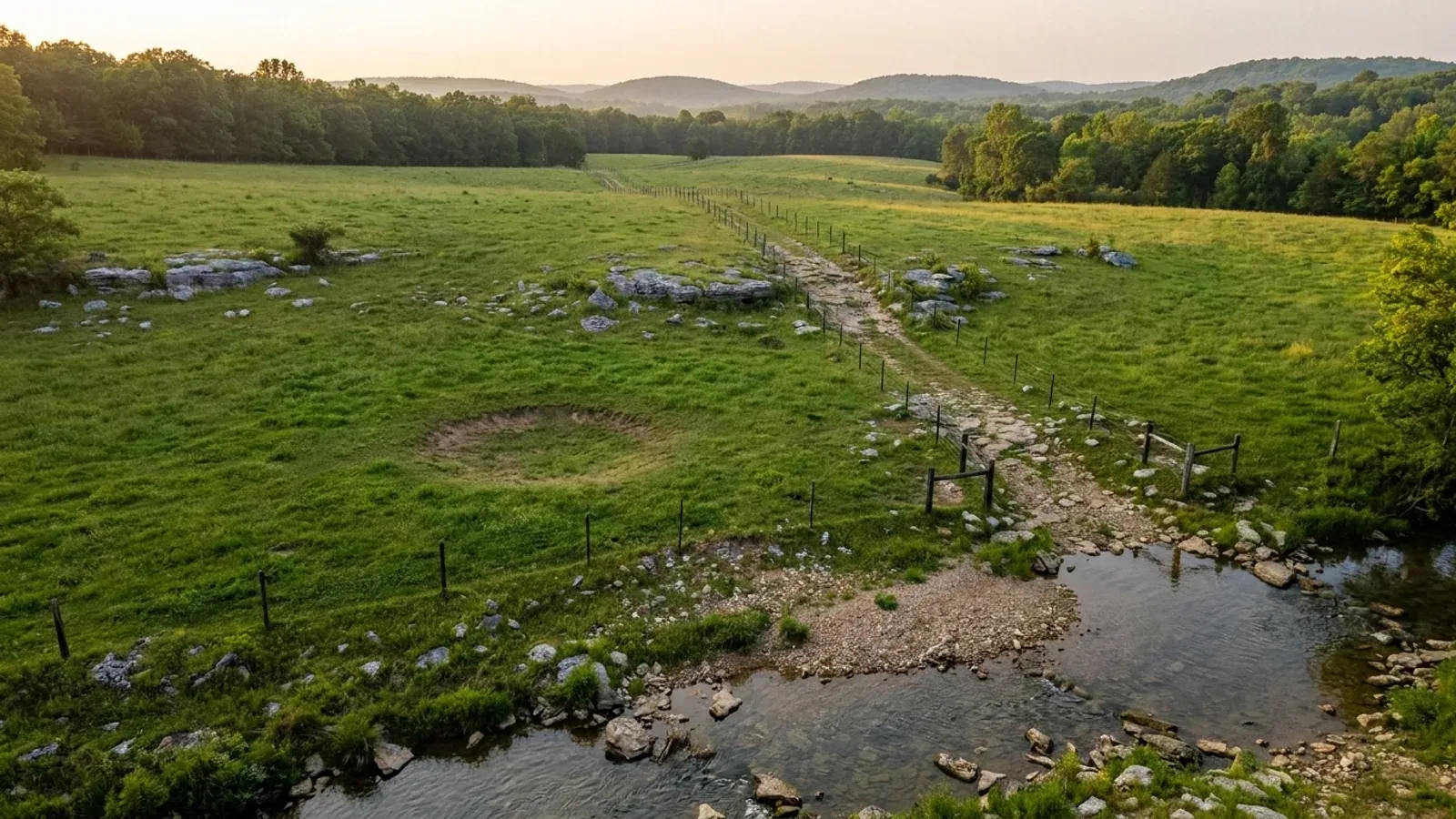
Barndominium Builders in Rogers, AR
Rogers is Arkansas's sixth-largest city at about 77,000 people, and it is the densest of the state's nine cities over 50,000 — roughly 2,004 people to the square mile across 38.4 square miles. It is also one of the very few Arkansas jurisdictions that publishes an actual design-criteria block: snow load, wind speed, seismic category, frost depth and air freezing index, printed in plain paragraph form on the Fire Department's own codes page. Two things then shape what you can build here: a form-based zoning code with no minimum lot size anywhere in it, and the Cave Springs karst regulations, which prohibit basements outright across the two highest-vulnerability zones.
Rogers at a glance
- County
- Benton County
- Population
- 76,956
- ZIP codes
- 72756, 72758, 72757
- Site visits
- Rogers sits inside our regular Northwest Arkansas working range, so site walks, karst and slope questions and trips to the Community Risk Reduction counter here are routine rather than a special arrangement.
Building conditions in Rogers
The State's code reaches every parcel in Arkansas, including rural and unincorporated land. What is not everywhere is the office that checks it: a city or county is authorised to set up a building department, not required to, and a great deal of rural Arkansas never has. So the first question on any parcel is not what the code says — that part travels — but whether anyone here issues a permit, inspects the work, or publishes the design criteria your drawings still have to satisfy. Where nobody does, the obligation does not go away. It just moves to the appraiser, the insurer, your lender and whoever buys the place from you.
https://www.rogersar.gov/1501/Contractor-Licensing-Requirements
https://www.rogersar.gov/DocumentCenter/View/32702/Rogers-Drainage-Criteria-Manual-July-2024
Also worth knowing before you build in Rogers
- Rogers ranks Arkansas soil series by how well they clean water, and names the local loser
- The Cave Springs chapter of the city's drainage manual does something no other Arkansas jurisdiction found does: it sorts the soils under the city into three treatment classes by name. Good treatment capability soils are the Captina and Peridge series, because a high proportion of the material passes a Number 4 sieve — loamy material rather than gravel — and the manual notes that the upper horizons of these soils can be stockpiled and amended to blanket the bottom of a detention pond. Fair treatment capability soils are Nixa and Tonti; Nixa carries a fragipan the manual places typically 17 to 30 inches below the surface, above which undisturbed soil saturates in wet weather and moves water laterally toward places where the pan is breached. Poor treatment capability is a single series: Noark, classed poor because of high percolation rates and a low proportion of fine material, with a texture the manual calls "too coarse to provide much of the natural cleansing present in soils." The same document maps a Cave Springs Groundwater Trough of roughly 1.8 square miles running east from Cave Springs, an area of rapid recharge and generally poor to fair soil treatment that is placed in Zone 1 on its own.
- The Noark soil series has its type location measured from Rogers, and it is 40 to 70 percent chert
- The NRCS Official Series Description for NOARK sets the type location at "Benton County, Arkansas; south of Highway 12, at road fork to War Eagle; 14 miles from Rogers" and records the series as established in Benton County in 1973. Noark is a very deep, well drained soil formed in colluvium and clayey residuum weathered from cherty limestone, and the description notes that in Arkansas these soils are mapped primarily in the Boone limestone formation — the same rock that produces the region's caves and sinkholes. The pedon runs about 40 percent angular chert by volume through the upper horizons and reaches about 70 percent chert in the deep subsoil, over very firm red clay Bt horizons that continue past 80 inches; total rock fragments range from 25 to 80 percent in the 2Bt. Slopes run 1 to 45 percent and reaction is extremely to strongly acid. For a footing trench that means excavation through gravel rather than soil, a bearing layer of very firm clay rather than a friable one, and a real chance of hitting rock on the steeper mapped units. Noark is mapped across Rogers at the 8 to 12, 12 to 20 and 20 to 40 percent slope classes.
- The city's own manual names the specific excavation hazard here: puncturing limestone
- In the water quality chapter of the Rogers Drainage Criteria Manual, under geology and soils, the city states the problem in one sentence: "A regular concern with storage basins in Rogers is 'puncturing' limestone during the course of excavation, thereby providing a conduit for stormwater into the shallow groundwater system." The manual goes on to require that development within the recharge area be coordinated with the United States Fish and Wildlife Service, and elsewhere warns that significant modifications to existing topography may require geologic impact studies and geotechnical analysis, particularly where shallow bedrock or karst topography is believed to be present. That is the practical shape of building on the Springfield Plateau: the risk on a Rogers site is less about what the soil will carry and more about what happens when a machine opens a path into the rock below it. It is also why slab-on-grade with a shallow footing is the natural foundation here rather than a compromise — the code's frost requirement is satisfied at the 18 inches Rogers publishes, and nothing about a barndominium needs to go deeper.
- Rogers zoning has no minimum lot size anywhere in it
- The Rogers Unified Development Code puts most of the city on the Rural-to-Urban Transect, a form-based system, and Table 4.5.A Selected Zone Standards contains no minimum lot area and no minimum lot width for any district. The eleven transect zones run from T2 Rural — described in the code as a very low-intensity district intended for agricultural uses and as a temporary holding zone pending development — up through T6.3 Regional High-Intensity, alongside three special purpose districts, HC Highway Commercial, I-1 Light Industrial and I-2 Large Format Industrial. What the table controls instead is coverage and form. T2 allows a maximum building coverage of 30 percent of the lot and a maximum impervious surface of 30 percent, requires a minimum 30-foot exterior yard and a minimum 30-foot interior yard with 10 feet on an alley side, and caps buildings at 2 stories. T3.1 moves to 40 percent coverage, 50 percent impervious and 20-foot exterior yards. For a barndominium the binding number is usually impervious surface rather than setbacks: a large single-storey footprint plus a driveway plus a shop apron adds up against a 30 percent cap faster than most buyers expect.
- Land annexed into Rogers with no zoning assigned automatically becomes T2 Rural
- Section 1.8.2.2 of the Unified Development Code, on interpreting district boundaries, provides that any land annexed into the City not assigned a zoning district with the annexation, or land otherwise not assigned a district, is determined to be assigned T2. That is exactly the situation an acreage buyer on the Rogers growth edge lands in, and it is worth knowing before the annexation petition rather than after, because T2 carries the tightest coverage numbers in the code — 30 percent building coverage and 30 percent impervious surface — together with 30-foot yards on every side and a two-storey cap. The same section adds that where a district boundary divides a lot, the owner may elect, subject to the Director's approval, to apply the least intense of the districts to the whole lot. Rogers publishes six questions its staff ask on an annexation request, and two of them read directly on this: whether land is available for greenfield or infill development within the current city limits, and whether the annexation would crowd out productive agricultural land or natural resources. Annexation requires the property to be contiguous to the city limits and goes through the City Clerk, and the city says the process can take several months.
- A detached shop in Rogers is capped at 16 feet unless it contains a dwelling unit
- This is the single line in the Rogers code that most often changes a barndominium design. Table 4.5.A of the Unified Development Code sets the maximum height of accessory buildings at 16 feet unless the building includes a dwelling unit, in which case the cap rises to 25 feet and in no case may exceed the height of the principal building. Sixteen feet to the eave will not take a 14-foot overhead door with a header and a truss above it, which is the usual reason a shop building grows. The table also requires accessory buildings to provide the same minimum yards as the principal building — 30 feet each way in T2 — and permits them in any yard in the lowest-intensity zones. Beyond those dimensional rules the code steps back: section 4.8 states that accessory uses "are not regulated any further by this UDC" except for the home occupation standards that follow. Those standards are worth reading before planning a workshop business, because they cap a home occupation at 25 percent of the dwelling's gross floor area, prohibit outside storage of any kind, allow no employee who does not live on the premises, and state plainly that no accessory buildings shall be issued in conjunction with a home occupation.
- Agriculture is a permitted use in all fourteen Rogers zoning districts; a house is permitted in six
- Table 4.6.A of the Unified Development Code lists permitted principal uses by district, and the row for AGRICULTURE carries a P in every single one of the fourteen — T2 through T6.3, Highway Commercial, and both industrial districts. Living uses are permitted in thirteen of the fourteen, but the specific building type matters: a Detached House is permitted only in T2, T3.1, T3.2, T4.1, T4.2 and T5.1. A Duplex is permitted in the same set minus T2. The code adds that nothing in the UDC seeks to expand any agricultural use prohibited by Chapter 6 of the Rogers Code of Ordinances, so the agricultural permission is a zoning permission and not an exemption from anything else. That distinction is the one buyers get wrong about barndominiums generally: a building used as a dwelling is a detached one-family dwelling under the Arkansas residential code no matter what it looks like or what else happens on the land, and no agricultural classification in Arkansas reaches it. In Rogers it also has to satisfy the residential building-type standards in section 4.7.1, including the rule that all residential buildings be located within 150 feet of a street, alley or programmed open space designed as a fire access lane.
- Ground steeper than 20 percent is unbuildable in Rogers by ordinance
- Section 3.3.4 of the Unified Development Code, under Natural Features, is short and absolute: "Grades above 20% are considered unbuildable and must be set aside within open space or where included within new lots. Lots with grades above 20% must have sufficient lot area outside of steep grades to construct a habitable structure compliant with other applicable provisions of this UDC." On the Springfield Plateau that is a real filter rather than a formality — the Noark and Ventris map units under parts of the city run to 40 percent slopes, and the ridge-and-hollow ground that makes a view lot attractive is exactly the ground the section removes from the buildable count. The practical effect on an acreage purchase in Rogers is that the deed acreage and the buildable acreage can be very different numbers, and the difference is measurable from a contour map before anyone walks the site. The same section requires a wetland assessment by a qualified environmental consultant where the city's GIS indicates wetlands or the City Engineer has reason to believe they are present, and treats floodplain development as a disturbance permit under Chapter 22.
- Every lot in Rogers has to be served by public water and public sewer
- Section 3.7.1 of the Unified Development Code requires that each lot be provided with power, telecom, public water and sewer service, collectively termed utilities, sized for the anticipated future use. There is no septic option and no private well option written into the standard. Section 3.7.2 then handles access rather than acreage: a lot not abutting a street must abut a mews, lots without street access located more than 150 feet from a street must be served by a mews, and in T3 and T4 lots narrower than 60 feet must abut both an alley and a street. That is the whole of the lot-dimension regime — Rogers regulates how a lot connects, not how big it is. The rural picture is genuinely different a short distance outside the city, where a parcel answers to Benton County instead and the septic permit comes from the Arkansas Department of Health rather than from any city. Inside Rogers, the utility requirement is one of the clearest reasons a homesite here is a lot rather than a tract.
- Rogers's development code now reaches its own city limits and nothing beyond
- Section 1.3.2.1 of the Unified Development Code states its jurisdiction in one sentence: "This UDC applies to all lands within the corporate limits of the City of Rogers and all lands subsequently annexed by the City of Rogers." Before August 2025 an Arkansas city of Rogers's size administered planning ordinances a measured distance out into the county; Act 314 of 2025 repealed the enabling statute outright and abolished municipal extraterritorial jurisdiction in Arkansas altogether. Land in the old ring around Rogers now answers to Benton County, which does run a planning board, does issue building permits and does inspect in the unincorporated county, but which has adopted no zoning there. One piece of the old arrangement survives in the text: section 3.7.1's utility requirement still ends with a clause authorising the Director to grant an administrative adjustment "for properties within the extraterritorial jurisdiction," a sentence with nothing left to operate on. What has not changed is addressing. A new home or accessory dwelling unit inside Rogers still needs an address verification letter from Benton County 911 Addressing, on 479-271-1085, uploaded with the plans before review begins.
- Rogers is in the flood insurance program but not in the discount program its own county joined
- FEMA's community status data lists the City of Rogers as NFIP community 050013, participating, with its initial Flood Hazard Boundary Map dated 24 May 1974, its initial Flood Insurance Rate Map dated 2 March 1981 and its currently effective map dated 5 June 2012 — the same countywide map date carried by Lowell, Cave Springs and unincorporated Benton County. What Rogers does not have is a Community Rating System class. Unincorporated Benton County holds CRS Class 9 with an effective date of 1 October 2022 and a 5 percent premium discount inside and outside the mapped special flood hazard area; the City of Rogers carries no class rating and no discount. For a buyer comparing a parcel just inside the Rogers limit with one just outside it in the county, that is a small but real and checkable difference in the annual cost of a flood policy on the same effective map. Floodplain administration in Rogers runs through Community Development on 479-621-1186, which issues the floodplain development permit and publishes elevation, flood-proofing and no-rise certificate requirements alongside the city's GIS flood zone viewer.
- The Rogers inspection rules are unusually specific, and several of them will fail a first attempt
- The city's Residential Construction Information Packet sets out what each inspection looks for, and the details are Rogers's own. A permit becomes invalid unless work is commenced within 6 months of issue, or if it is suspended or abandoned for 6 months after commencing. The permit card must be in a weather-protected box, visible and readable from the street: "Any job not having the permit card posted will have inspections turned down, no questions asked." Inspections are scheduled at least 24 hours ahead, and each permit fee covers one initial inspection and one re-inspection, with $100.00 for any further re-inspection of the same deficiency. At footings, the requirement is 18 inches into native soil with the bottoms squared and level, a minimum of two #4 bars running horizontally in the ditch, laps wire-tied with 12 inches of overlap, corners bent rather than tied, and a soil compaction report available to the inspector if there is fill on site. Slab minimum thickness is 3½ inches; anchor bolts go 12 inches from the end of each plate piece and every 6 feet, tightening to every 4 feet on a two-storey building; the termite tag must be on site at the slab inspection for the inspector to collect; and finish floor elevation must meet the plat or sit one foot above the top of the curb at the driveway cut. The packet also records a city plumbing amendment: SDR 35 PVC is prohibited for use as building drains and building sewers, citing section 10-220 of the city code.
https://www.rogersar.gov/DocumentCenter/View/32702/Rogers-Drainage-Criteria-Manual-July-2024
https://www.rogersar.gov/DocumentCenter/View/32702/Rogers-Drainage-Criteria-Manual-July-2024
https://www.rogersar.gov/DocumentCenter/View/46571/Residential-Construction-Packet

The expensive surprises are in the ground, not the building
What moves an Arkansas budget is usually below grade, and the state hands you a different problem depending on where you stand. In the Delta the issue is shrink-swell clay that moves with the season, and it is the reason a wide, light building with a big slab and a big door opening is the shape most at risk. Along the Fall Line there is a second, separate clay belt with nothing to do with the Delta at all. Up in the Ozarks the question inverts: what matters is not what the slab sits in but what is under it, because that limestone is full of solution cavities and the collapses arrive with no prior indication at the surface. And on Crowley's Ridge, where Jonesboro and Paragould sit, it is fine wind-blown loess that stands up in a vertical cut and then erodes out from under whatever you put on it. The same ground decides your wastewater system, which is the gate that most often moves a rural build's schedule — and it is soils that decide it, not the size of the house. So the site work, the foundation and the wastewater get resolved together rather than one at a time. We price the dirt before we price the building.
What we build in Rogers
All nine services are available in Rogers. What a build costs depends far more on the parcel than on square footage, so we price against your land rather than publishing a rate card.
Custom Barndominium Plans
Barndominium floor plans, elevations and engineered documents drawn to your parcel — and to the design numbers your Arkansas jurisdiction publishes.
Barndominium Kits
Engineered barndominium shell packages for Arkansas land, drawn to a named jurisdiction's criteria rather than to a national vendor's generic spec.
Turnkey Barndominium Builds
Land through handover under one contract, and a straight answer on what actually gates a barndominium build on rural Arkansas land.
What a build looks like
Three stages every Rogers project passes through, from a raw parcel to a finished home. Site work first, because that is where the budget is decided.

The parcel
Zoning, setbacks, flood zone and utility access get checked before anything is drawn.
Pad and permit
Clearing, grading and a compacted pad, while the submittal works through whichever office issues the permit where you are building.

Frame to finish
Shell erected and dried in, then systems, insulation and interior finish through to CO.
Those are the rules where you are building in Rogers. Tell us what you want to build and we will draw it to them.
Where we build around Rogers
Benton County and the rural land around it. The buildable acreage for a project this size usually sits outside the city limits, which is frequently what changes who issues your permit.
Keep reading
The questions that usually come next once you know what Rogers allows.
Barndominium Cost Guide
Sourced per-square-foot ranges by tier and by size, with a calculator built on the same figures.
Read itThe Arkansas Building Code
The code applies statewide, including unincorporated land — but a jurisdiction is only authorized to establish a building department, so on rural residential land there is often no counter at all.
Read itBuying Land in Arkansas
Where acreage is actually purchasable in homesite sizes, and what percolation, slope and the onsite wastewater rule do to a parcel before anything is designed.
Read itNearby areas we build in
Others we cover nearby. One may be a county, another a city inside it — and since March 2025 the soft edge between them is gone, because the cities' extraterritorial jurisdiction was abolished outright and that land reverted to the counties. So the office that issues the permit, the fees it charges, the zoning and whether anyone publishes design criteria at all can differ from one card to the next, and the boundary that decides it may have moved recently.
Building in Rogers: common questions
9 questions we get asked most often about building in Rogers. If yours is not on the list, ask it directly.
Do I need a building permit to build a barndominium in Rogers?
What does a building permit actually cost in Rogers, and how is it calculated?
Does Rogers publish wind speed, snow load and seismic design numbers?
What is the Cave Springs karst area, and will it affect my build?
How does Rogers zoning treat a house with a large attached or detached shop?
Can I actually buy acreage inside the Rogers city limits?
What is the ground like in Rogers, and what does it do to a foundation?
My site is just outside the Rogers city limits. What applies then?
Which inspections will Rogers run, and what are the inspectors looking for?
Building in Rogers?
Start with the plan. Tell us what you want to build and we will draw it, then confirm which office issues the permit for your parcel, what it will let you put there, and what wind load it has to meet. That conversation costs nothing.