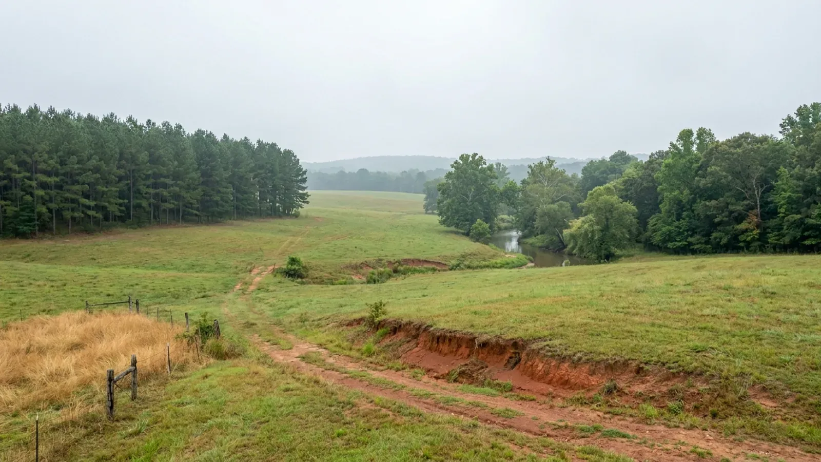
Barndominium Builders in Lonoke County, AR
Lonoke County has 76,664 people spread across 772 square miles at just 99 people per square mile, and 82.9% of its land is in farms, by far the highest share of any county in the Little Rock–North Little Rock–Conway metropolitan area. It sits inside that metro with Cabot as its anchor town, which makes it the rare place in this state where abundant open land and a metro commute overlap. But this is Grand Prairie, not the Ozarks: dead-flat rice and soybean ground over a dense clay pan, farmed at industrial scale, and that single fact changes almost everything about how a barndominium gets sited, drained and founded here.
Lonoke County at a glance
- County
- Lonoke County
- Population
- 76,664
- ZIP codes
- 72023, 72024, 72086, 72007, 72176, 72046, 72072, 72083, 72142
- Site visits
- Lonoke County sits at the centre of our regular central Arkansas coverage, from Cabot, Austin and Ward in the north down through Lonoke, Carlisle, England and Keo, so site walks, soil questions and trips to the Cabot permit counter here are routine rather than special arrangements.
Building conditions in Lonoke County
The State's code reaches every parcel in Arkansas, including rural and unincorporated land. What is not everywhere is the office that checks it: a city or county is authorised to set up a building department, not required to, and a great deal of rural Arkansas never has. So the first question on any parcel is not what the code says — that part travels — but whether anyone here issues a permit, inspects the work, or publishes the design criteria your drawings still have to satisfy. Where nobody does, the obligation does not go away. It just moves to the appraiser, the insurer, your lender and whoever buys the place from you.
https://encyclopediaofarkansas.net/entries/grand-prairie-2996/
https://www.cabotar.gov/DocumentCenter/View/128/Zoning-Book-PDF
Also worth knowing before you build in Lonoke County
- Lonoke County farms are a barbell: median 122 acres, average 617
- The 2022 Census of Agriculture puts the average Lonoke County farm at 617 acres, up 11% since 2017, while the median is 122 acres. That five-fold gap is the shape of the market. Of 663 operations, 58 are 1 to 9 acres and 143 are 10 to 49 — so 201 farms, about 30%, are under fifty acres — while 93 operations are 1,000 acres or larger. The county has both the smallest and some of the largest holdings in central Arkansas and comparatively little in between. The small end is where a homesite comes from; the big end is what sets the price per acre when a corner of a field goes on the market.
- Cabot names seventeen inspections and will not perform any of them without a permit box
- Cabot's Residential Building Inspection Administrative Guidelines list the inspection sequence by name and by who may call it: footing, erosion control, pier, rough-in plumbing, slab, rough HVAC, top-out plumbing, house gas, rough electrical, pre-veneer and framing, sewer, water service, final HVAC, final plumbing, final electrical, final fireplace and final certificate of occupancy — with plumbing, HVAC and electrical inspections callable only by the licensed trade holding that permit. The packet also requires a permit box on site holding the building permit card, an address posted and visible from the street, and a 4x4 sign carrying the builder's name, licence number and contact details plus the same for each trade. It states plainly that inspections will not be performed without the permit box, the posted address and job sign, and a port-a-potty within 100 feet of the property line.
- Cabot requires a paved driveway on any new home on a lot under one acre
- The same Cabot packet states that paved driveways are required for all new homes on lots less than one acre in size, and that burning is not permitted with the contractor and homeowner responsible for removing construction waste. The city's zoning code carries the same threshold from the parking side: every vehicular use area shall be paved, except for single-family residential lots of more than one acre in size. One acre is therefore the line inside Cabot at which a gravel drive becomes acceptable — a detail that matters to a shop building with equipment access, and one that has no equivalent on unincorporated county land.
- Cabot names the codes it builds to, by ordinance number
- The Certificate of Compliance with Building Codes bound into Cabot's building permit application requires the applicant to certify that the proposed construction meets or exceeds the codes adopted by the City of Cabot as per Ordinance 27 of 2023, and then lists them: the 2021 Arkansas Fire Prevention Code Volumes I, II and III; the 2021 International Mechanical Code; the 2018 Arkansas Plumbing Code; the 2020 National Electrical Code; the 2018 Arkansas Gas Code; Ordinance 40 of 2019 Nuisance and Abatement Code; Ordinance 6 of 2016 Cabot Unified Development Code; and the 2014 Arkansas Energy Code. The permit itself becomes null and void if the work is not commenced within six months, or if it is suspended or abandoned for six months at any time after it starts.
- Cabot asks builders to sign a form choosing city review over a third-party reviewer
- Bound into the same Cabot permit packet is a Certificate to Opt-In to Standard Administrative Plan Review and Site Inspections, headed on its face as being pursuant to a 2021 Arkansas act. On it the owner, authorised agent or licensed contractor certifies that they understand they have the option to use a third-party provider for plan review and site inspections, and elects instead to opt in to review by the City of Cabot's Building Department, acknowledging that the application and construction documents will be reviewed by city staff and that required site inspections will be conducted by City of Cabot building inspectors or authorised personnel. It is the only Arkansas jurisdiction on this site found putting that election in front of a residential applicant as a signed form.
- Lonoke County's own ordinance record contains no zoning, no subdivision rules and no building code
- The Lonoke County Clerk publishes the county's ordinances online. The archive runs from 2019 through 2025 and holds 168 ordinances; every one of them is an appropriation, a millage or voluntary-tax rate, an annual budget, a personnel-policy amendment, a grant acceptance or a procedural ordinance for the quorum court. There is no county planning board ordinance, no county zoning ordinance, no county subdivision ordinance and no adopted building code anywhere in it. The county also has no published code of ordinances — the codified version that exists has never been released to the public. What that means on the ground is that on unincorporated land in this county there is no counter to take a building permit application to.
- Unincorporated Lonoke County is in the NFIP — Keo and Coy are not
- FEMA's community status data lists unincorporated Lonoke County as community 050448, in the regular programme since 14 March 1994, on a currently effective map dated 25 April 2024 — the same effective date as the City of Cabot, community 050309, which has been in the regular programme since 19 April 1983. Nine Lonoke County communities participate: the county itself plus Cabot, Ward, Austin, Lonoke, Carlisle, England, Humnoke and Allport. Two do not: the Town of Keo, community 050259, and the Town of Coy, community 050402. In a non-participating community, flood insurance under the National Flood Insurance Program cannot be written at all, whatever the flood map shows — which is a materially different proposition from a high premium.
- The county's second most extensive soil holds 70% clay and swells 17%
- SSURGO maps the Lonoke and Prairie counties survey area, AR680, as one unit of about 946,800 acres, data version 10 September 2025. Its most extensive soils are Immanuel at roughly 121,900 acres, Perry at 77,600, Calhoun at 75,200, Dewitt at 65,100, Calloway at 61,600 and Stuttgart at 43,300. Perry is the one to know about: a Chromic Epiaquert whose plough layer runs about 50% clay and whose subsoil from roughly 6 inches to 80 inches runs about 70% clay, with a linear extensibility of 17 and a saturated hydraulic conductivity of 0.21 micrometres per second. Seventeen percent linear extensibility under a wide, light, slab-on-grade building is the worst soil condition in central Arkansas, and it is not rare here — it is the second most common soil in the survey area.
- The Stuttgart soil changes texture in a single spade's depth
- Stuttgart is the Grand Prairie soil and the NRCS series description says its defining feature is an abrupt texture change between the surface horizon and the argillic horizon beneath. SSURGO puts numbers on it in this survey area: the surface and E horizons from 0 to about 15 inches carry roughly 16.5% clay at a saturated hydraulic conductivity of 2.7 micrometres per second, and then the Bt1 horizon from about 15 to 21 inches jumps to 45% clay at 0.21 micrometres per second — thirteen times slower, across a boundary you can put a shovel through. Dewitt does the same thing deeper, running about 15% clay to 22 inches and then 38.5% clay below it. That contrast is what perches water above the pan in winter and spring, and it is the single most important thing a soil pit here will show.
- A fragipan sits under roughly 173,000 acres, and there is essentially no bedrock
- SSURGO records a fragipan restriction across about 172,800 acres of the Lonoke–Prairie survey area — Calloway, one of the five most extensive soils here, is an Aquic Fraglossudalf, a soil named for it. Against that, restrictions from rock are almost absent: paralithic bedrock appears on about 5,900 acres and lithic bedrock on about 3,000, which is under one percent of the survey area. That combination is the opposite of the Ozark and Ouachita problem. Nothing here stops a trench; what stops water is a dense pan a couple of feet down, and the Arkansas onsite wastewater rule treats a fragipan as a Restrictive Soil Layer and forbids monitoring wells from being set below its top.
- Lonoke County is in a Critical Groundwater Area — and a house well is exempt from it
- USGS Scientific Investigations Report 2024–5088, first posted 8 November 2024, models the Cache and Grand Prairie Critical Groundwater Areas of northeastern Arkansas and states that both were designated owing to decades of groundwater declines from past and current water use, with outflows to irrigation wells making up about 52 and 54 percent of all outflows in the two models. The Grand Prairie the designation is named for is the same region the Encyclopedia of Arkansas places across Arkansas, Prairie, Lonoke and Monroe counties, and 236,168 irrigated acres in this county sit on it. What a designation does to a house is nothing: the state groundwater rules exempt from regulation any withdrawal from individual household wells used exclusively for domestic use, and separately exempt any well with a maximum potential flow rate under 50,000 gallons per day. A designation does not stop a house being built, does not require a water right for a domestic well, and does not require the household to report its use. What groundwater decline does affect is the practical question — how deep a well has to go and whether it stays productive — and that is a different question from a legal restriction.
- Cabot runs its own floodplain permit and holds occupancy until it is closed out
- The City of Cabot publishes a Floodplain Development Permit Application packet naming a local Floodplain Administrator. It requires a permit before any development in a Special Flood Hazard Area — constructing a new building, adding to one, clearing land, placing fill, grading, or installing a septic system — and states that a Compliance Certificate must be issued by the Floodplain Administrator, after inspection, before the developed land can be used or the house occupied. New buildings in a Special Flood Hazard Area require an Elevation Certificate documenting the lowest floor's height against the base flood. On flat Grand Prairie ground where a foot of elevation covers a lot of horizontal distance, that certificate is the document that decides how much fill a site needs.
https://www.cabotar.gov/DocumentCenter/View/2726/Building-Permit-Application
https://www.cabotar.gov/DocumentCenter/View/2726/Building-Permit-Application
https://www.cabotar.gov/DocumentCenter/View/711/-Application-for-Floodplain-Development-Permit

The expensive surprises are in the ground, not the building
What moves an Arkansas budget is usually below grade, and the state hands you a different problem depending on where you stand. In the Delta the issue is shrink-swell clay that moves with the season, and it is the reason a wide, light building with a big slab and a big door opening is the shape most at risk. Along the Fall Line there is a second, separate clay belt with nothing to do with the Delta at all. Up in the Ozarks the question inverts: what matters is not what the slab sits in but what is under it, because that limestone is full of solution cavities and the collapses arrive with no prior indication at the surface. And on Crowley's Ridge, where Jonesboro and Paragould sit, it is fine wind-blown loess that stands up in a vertical cut and then erodes out from under whatever you put on it. The same ground decides your wastewater system, which is the gate that most often moves a rural build's schedule — and it is soils that decide it, not the size of the house. So the site work, the foundation and the wastewater get resolved together rather than one at a time. We price the dirt before we price the building.
What we build in Lonoke County
All nine services are available in Lonoke County. What a build costs depends far more on the parcel than on square footage, so we price against your land rather than publishing a rate card.
Custom Barndominium Plans
Barndominium floor plans, elevations and engineered documents drawn to your parcel — and to the design numbers your Arkansas jurisdiction publishes.
Barndominium Kits
Engineered barndominium shell packages for Arkansas land, drawn to a named jurisdiction's criteria rather than to a national vendor's generic spec.
Turnkey Barndominium Builds
Land through handover under one contract, and a straight answer on what actually gates a barndominium build on rural Arkansas land.
What a build looks like
Three stages every Lonoke County project passes through, from a raw parcel to a finished home. Site work first, because that is where the budget is decided.

The parcel
Zoning, setbacks, flood zone and utility access get checked before anything is drawn.
Pad and permit
Clearing, grading and a compacted pad, while the submittal works through whichever office issues the permit where you are building.

Frame to finish
Shell erected and dried in, then systems, insulation and interior finish through to CO.
Those are the rules where you are building in Lonoke County. Tell us what you want to build and we will draw it to them.
Where we build around Lonoke County
Lonoke County and the rural land around it. The buildable acreage for a project this size usually sits outside the city limits, which is frequently what changes who issues your permit.
Keep reading
The questions that usually come next once you know what Lonoke County allows.
Barndominium Cost Guide
Sourced per-square-foot ranges by tier and by size, with a calculator built on the same figures.
Read itThe Arkansas Building Code
The code applies statewide, including unincorporated land — but a jurisdiction is only authorized to establish a building department, so on rural residential land there is often no counter at all.
Read itBuying Land in Arkansas
Where acreage is actually purchasable in homesite sizes, and what percolation, slope and the onsite wastewater rule do to a parcel before anything is designed.
Read itNearby areas we build in
Others we cover nearby. One may be a county, another a city inside it — and since March 2025 the soft edge between them is gone, because the cities' extraterritorial jurisdiction was abolished outright and that land reverted to the counties. So the office that issues the permit, the fees it charges, the zoning and whether anyone publishes design criteria at all can differ from one card to the next, and the boundary that decides it may have moved recently.
Building in Lonoke County: common questions
9 questions we get asked most often about building in Lonoke County. If yours is not on the list, ask it directly.
Does Lonoke County issue building permits for a barndominium on rural land?
What does the City of Cabot actually require, and what does it cost?
Can I build a big detached shop on my lot inside Cabot?
Cabot had an extraterritorial jurisdiction ring. What happened to it?
Is this rolling pasture, or is it something else?
What does the clay do to a septic system here?
Can I actually buy a homesite-sized piece of Lonoke County?
How much of a flood problem is this, and which towns should I check first?
If nobody inspects my build outside the cities, what still applies?
Building in Lonoke County?
Start with the plan. Tell us what you want to build and we will draw it, then confirm which office issues the permit for your parcel, what it will let you put there, and what wind load it has to meet. That conversation costs nothing.