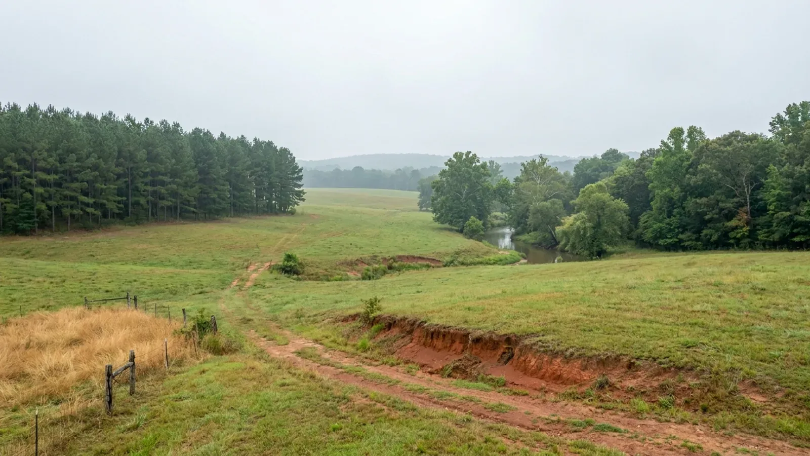
Barndominium Builders in Faulkner County, AR
Faulkner County has 133,979 people on 647 square miles, grew 8.5% in five years, and still has 47.2% of its land in farms with a median farm of 65 acres — the best-balanced combination of metro demand and buyable acreage anywhere in the Little Rock–North Little Rock–Conway area. It is also a county whose own codified Code of Ordinances contains a chapter headed Urban / Rural Development whose building article reads, in full, "Reserved." What governs a barndominium on unincorporated ground here is not a building department, because there isn't one: it is the ground itself — sandstone within a foot and a half of the surface across great stretches of it — plus a floodplain permit, a 911 address, and the state licences that follow the trades onto the site.
Faulkner County at a glance
- County
- Faulkner County
- Population
- 133,979
- ZIP codes
- 72032, 72034, 72035, 72058, 72173, 72106, 72047, 72061, 72181, 72111, 72039
- Site visits
- Faulkner County sits in the middle of our regular central Arkansas working area, and the run through Conway, Greenbrier, Vilonia, Wooster, Mayflower, Enola and Guy is an ordinary week rather than a special trip, so walking a piece of unincorporated ground, looking at how a driveway would meet a county road, and calling in at the OEM counter on Acklin Gap Road are all routine here.
Building conditions in Faulkner County
The State's code reaches every parcel in Arkansas, including rural and unincorporated land. What is not everywhere is the office that checks it: a city or county is authorised to set up a building department, not required to, and a great deal of rural Arkansas never has. So the first question on any parcel is not what the code says — that part travels — but whether anyone here issues a permit, inspects the work, or publishes the design criteria your drawings still have to satisfy. Where nobody does, the obligation does not go away. It just moves to the appraiser, the insurer, your lender and whoever buys the place from you.
https://library.municode.com/ar/faulkner_county/codes/code_of_ordinances
https://www.faulknercountyar.gov/oem/services/911addressing/
https://gis.arkansas.gov/product/disposal-well-moratorium-area/
Also worth knowing before you build in Faulkner County
- The floodplain permit is the county's only development permit, and it wants two feet of freeboard
- The Flood Damage Prevention Code for Faulkner County, dated 19 March 2019 and adopted as Ordinance 19-06 after FEMA revised ten flood insurance rate map panels along the Cadron watershed, is the closest thing the county has to a building ordinance. It appoints the County Judge or a designee as Floodplain Administrator and makes the Quorum Court the Appeal Board. In Zone AE the top surface of the lowest floor of a new residential structure must be two feet or more above the published base flood elevation, documented on an Elevation Certificate completed by an engineer, surveyor or architect licensed in Arkansas. Construction of basement foundations anywhere in a Special Flood Hazard Area is prohibited. Article 3 also states that "all mixed-use structures are subject to the more stringent requirements of residential structures" — which is exactly what a dwelling-and-shop building is. The permit expires if no work is commenced within six months, and the development may not be used or occupied until a Certificate of Compliance is issued after inspection. The county's own page says a floodplain permit must be obtained before any development begins and that this applies countywide; the application packet limits the requirement to Special Flood Hazard Areas. Either way, OEM is the office that decides, and it does so for everywhere outside Conway, Mayflower, Wooster, Vilonia and Greenbrier.
- A driveway onto a county road needs a permit from the county judge — and it is free
- Chapter 12 of the Faulkner County Code, § 1200.04, states that no road, driveway, or other entrance or exit of any nature or form shall be made into any county road without first having obtained a permit from the county judge, and that failure to obtain or comply with one is a continuing misdemeanour with each day a separate offence, punishable by a fine of up to $250.00 a day. The same section then does something unusual: it directs that the county judge shall charge a reasonable inspection fee for each permit requested, "except a permit requested for private, one-family driveway for which no inspection fee shall be charged." So the one county permit a single-family barndominium owner is most likely to need is the one the code specifically exempts from a fee. The county publishes the Road Improvement Permit Request form and a Road Improvement Guide alongside its road ordinances 84-13, 07-06, 07-10, 07-13, 07-15, 08-11 and 08-20.
- Build your own road and the county publishes the spec: 24 feet wide, six inches of Class 7
- Faulkner County's Road Improvement Guide sets out what a private road must be before the county judge will court-order it into the county maintenance system, and it is a real specification. A minimum of six inches of Class 7 gravel compacted on the road bed. A road bed at least 24 feet wide with a driving surface at least 20 feet wide. A 50-foot right-of-way measured from the centre of the road. A minimum 40-foot entrance onto any other road. A 50-foot turning radius at the end of a dead end. Drainage in concrete or galvanised tile, 15 inches in diameter. Sloped ditches on both sides. The guide also records the step most rural buyers do not expect: anyone subdividing land is required to file a subdivision plat with the county judge showing the right-of-way to be dedicated and the location of water lines and fire hydrants, and the plat must be approved by the county judge before road construction starts. After construction the road is inspected, sits one calendar year to test its integrity, and is inspected again before the judge may take it in. Until then it is a private road and its maintenance is the owners' problem.
- 40,000 earthquakes since 1982, none above magnitude 4.5, and no reported structural damage
- The county's own 2021 Hazard Mitigation Plan, covering unincorporated Faulkner County and eleven cities, sets out the seismic history in its own words. On 12 January 1982 an earthquake of magnitude 1.2 was recorded near Enola; since then more than 40,000 earthquakes have been recorded in the Enola area, most of them microquakes. "Earthquakes in the Enola Swarm area have not exceeded a magnitude of 4.5. No structural damage has been reported." Roughly 2,500 events were recorded in the Enola area in 2001 alone by a portable monitoring network. A second swarm began in late 2010 around Guy and Greenbrier, and the plan records its most powerful event as a magnitude 4.7 on the night of 27 February 2011. The plan's table of magnitude 4.0-and-above events in the county between 1965 and 2017 lists five: 4.7 in February 2011, 4.7 in January 1982 with a felt area of about 75,000 square kilometres, 4.4 in 2001 with a felt area of about 43,500 square kilometres, 4.3 in January 1982 and 4.1 in February 1982. That is a genuine local hazard record and it is also the reason a design conversation here should start with an engineer rather than a map.
- Lake Conway has been drained since September 2023 and will stay dry for up to five years
- Lake Conway was built in 1948 and was at the time the largest lake ever constructed by a state wildlife agency. The Arkansas Game and Fish Commission opened the first gate at the dam on 1 September 2023 and all operational gates on 15 November 2023 to draw the 6,700-acre lake down completely for a renovation that replaces the obsolete gate system with a modern spillway, and AGFC's own project page states that the lake must remain dry for up to five years. Contractors began removing old infrastructure at the dam in October 2025 and by August 2026 the bridge had been set over the auxiliary structure. Two details matter to anyone buying near it. Silt has taken as much as three feet of depth out of parts of the lake, and drying and compaction are expected to recover as much as a foot and a half. And AGFC records that in the 2019 flood the Arkansas River "flowed backward over the gates of the current spillway" — which is the clearest single statement of how the Mayflower end of Faulkner County drains. The new spillway is also intended to end the annual winter drawdown the lake has always had.
- This is hay and cattle country, not row crop: 70,311 acres of pasture against 4,893 irrigated
- The 2022 Census of Agriculture records 1,130 farms in Faulkner County on 195,761 acres, 47.2 percent of the county, averaging 173 acres with a median of 65. The use split is the thing to read: 70,311 acres of pastureland against 61,960 acres of cropland and 51,776 acres of woodland, with only 4,893 acres irrigated — two percent of the land in farms. The top crop by acreage is forage, hay and haylage of all kinds, at 37,261 acres; soybeans account for 4,828 acres and rice 2,592. Fifty-six percent of the county's $33.8 million of product sales is livestock and poultry, with cattle and calves alone at $16.4 million. That is a completely different landscape from the flat irrigated Delta counties an hour east, and it is why the ownership pattern here is fine-grained: 98 operations are 1 to 9 acres and 388 are 10 to 49, so 486 of the 1,130 farms — 43 percent — are under fifty acres, and 390 of them sold less than $2,500 of product in 2022. Those are homesteads with a few head on them, and they are the parcels that come to market.
- About 61,000 acres of the county are steeper than the septic rule's variance line
- Faulkner County is where the Arkansas River Valley meets the southern edge of the Ozarks and the Ouachita front, and the terrain shows it. A SSURGO query of survey area AR045 returns roughly 60,700 acres — about one acre in seven of the 425,000 acres mapped — with a representative slope steeper than 12 percent, and roughly 113,300 acres, better than a quarter of the county, steeper than 8 percent. Twelve percent is the statewide line in the Arkansas onsite wastewater rules above which a capping-fill system needs a variance, so on a good deal of the higher ground north and west of Greenbrier and Guy the slope decides the septic design before the soil pit does. About 30,400 acres are mapped as hydric, which is the other end of the same problem. Between shallow sandstone on the ridges, a fragipan on the benches and hydric ground in the bottoms, the parcel that works here is usually the one with a bench of Linker or Leadvale wide enough for a house pad and two absorption areas.
- Two Faulkner County towns cannot get NFIP flood insurance at all
- FEMA's community status data lists eleven Faulkner County communities. Unincorporated Faulkner County is community 050431, in the regular programme since 27 September 1991, on a currently effective map dated 21 March 2019 — the same date as Conway and Wooster, and the map revision that prompted the county's 2019 Flood Damage Prevention Code. Enola's map carries the note NSFHA, meaning no special flood hazard area is mapped there at all. But the Town of Twin Groves, community 050141, was sanctioned on 19 December 2007 and the Town of Mount Vernon, community 050570, on 19 December 2006, and neither is participating in the National Flood Insurance Program. In a non-participating community an NFIP policy cannot be written whatever the flood map shows, which is a materially different proposition from a high premium and is worth knowing before a lender asks. Damascus, Greenbrier, Guy, Holland, Mayflower and Vilonia all participate.
- Conway's one-mile planning ring over the county ended in 2025, and the city wrote the repeal itself
- Until 2025, Arkansas cities of 8,000 or more administered planning ordinances a mile or more out into the county under A.C.A. § 14-56-413. Act 314 of 2025 repealed that section outright. Faulkner County's own press release on a different 2025 act names 5 August 2025 as that session's effective date for non-emergency legislation. The City of Conway then put the consequence in writing: the ordinance on its 28 October 2025 City Council agenda is titled "AN ORDINANCE TO REPEAL THE CITY OF CONWAY'S PLANNING OR TERRITORIAL JURISDICTION OUTSIDE OF CITY LIMITS IN COMPLIANCE WITH ACT 314 OF 2025", recites that municipalities over 8,000 in population were authorised to exercise extraterritorial jurisdiction up to one mile beyond their corporate limits, repeals the territorial-jurisdiction parts of zoning code section 308.2 and of Subdivision Regulations Article 1 section 3, Article 5 section 9 and Article 8 section 5, and provides that the city "shall, in keeping with State Law, Act 314 of 2025 surrender any oversight regarding the subdivision development outside of the City of Conway incorporated limits." The mile-wide belt around Conway, and the equivalent belts around Greenbrier, Vilonia and Mayflower, now answer to Faulkner County — which, as its own code shows, has adopted nothing to answer with. Any Faulkner County land-use handout written before August 2025 is out of date on this point.
- Inside Vilonia a new house is $300, and the city's own sheet sets the slab
- Vilonia is the clearest published contrast to unincorporated ground in this county. Its Code Enforcement Department charges $300.00 for a new residence, $100.00 for a storage or garage building, and $200.00 for a manufactured home, payable when the application is submitted, and no work is performed until the permit is issued. Copies of all electrical, plumbing and HVAC licences must be submitted with the application and are kept on file at city hall. A separate plumbing permit comes from Vilonia Waterworks and a sewer connection permit from Vilonia Sewer, and the water and sewer connection points must be shown on the plat. The city's Information Regarding Building Permits and Inspections sheet, dated 5 January 2022, sets concrete floor slabs at a minimum four-inch thickness with an approved vapour barrier and 6x6 10-10 wire mesh, footing steel at a minimum of two #4 bars — four for monolithic slabs — and fill at a minimum 95 percent compaction, and requires a builder's sign with licence number, a portable toilet, a trash container, erosion control where the lot slopes, and a plot plan at the first inspection. The same sheet lists the 2012 Arkansas Fire Prevention Code, the 2015 IBC and the 2006 Arkansas Plumbing Code; the state's 2021 Arkansas Fire Prevention Code took effect on 1 January 2023, so check the current adopted list at city hall before drawing to that sheet.
- The school safe rooms open themselves, and the county keeps a register of private shelters
- Faulkner County has one of the densest public storm-shelter networks in Arkansas, built after the tornado years. Fourteen Conway Public Schools buildings hold public safe rooms wired to the City of Conway's Severe Weather Alert System: when a Tornado Warning is issued the doors open automatically for public access, and they are checked weekly through storm season. Vilonia's school shelters open automatically the same way. Greenbrier, Wooster and Springhill schools open with a sign-in, Mayflower's are manually unlocked, and the county operates its own shelters behind the OEM building at 57 Acklin Gap Road in Conway and at 336 Sawmill Road in Holland, open during Severe Thunderstorm or Tornado Warnings, with all three deadbolts to be locked from the inside. The county also runs a storm shelter registration form that records the shelter's location and the number of day and night occupants in the local emergency management database so responders can find it. On rural acreage where nothing else is inspected, registering a shelter is one of the few things the county actively wants to know about a new build.
- The county applies Arkansas's earthquake law to its bridges — and to nothing you would live in
- Chapter 12 of the Faulkner County Code sets minimum bridge design standards for replacement and new bridges on county roads: HS-20 design loading, widths from 24 to 40 feet by traffic count and terrain, railing required on all bridges, and design speeds tabulated separately for flat, rolling and mountainous terrain — a county that needs three terrain columns. The section then provides that upgrading, construction and erection of bridges on the county road system "shall be subject to and meet the provisions as set forth in A.C.A. § 12-80-101 through § 12-80-106 (Act 1100 of 1991), requiring earthquake resistant design for public structures." That single sentence is the cleanest illustration in Arkansas of where the state's seismic law actually reaches. Faulkner County requires earthquake-resistant design of a county bridge over a creek. It requires nothing of the house beside it, because the statute is written for public structures and the county has adopted no residential building code. If you want seismic detailing in a wide-span pole barn on this ground, it comes from your engineer and your specification, not from a counter.
https://www.faulknercountyar.gov/oem/services/floodplainmanagement/
https://www.faulknercountyar.gov/government/departments-2/roads/
https://www.faulknercountyar.gov/images/documents/FaulknerCountyRoadImpv.pdf
https://www.faulknercountyar.gov/wp-content/uploads/2024/12/Hazard-Mitigation-Plan-2021.pdf
https://www.agfc.com/resources/habitat-and-access-improvement/lake-conway-renovation-project/
https://conwayarkansas.gov/wp-content/uploads/2025/06/October-28-2025-City-Council-Agenda.pdf
https://library.municode.com/ar/faulkner_county/codes/code_of_ordinances

The expensive surprises are in the ground, not the building
What moves an Arkansas budget is usually below grade, and the state hands you a different problem depending on where you stand. In the Delta the issue is shrink-swell clay that moves with the season, and it is the reason a wide, light building with a big slab and a big door opening is the shape most at risk. Along the Fall Line there is a second, separate clay belt with nothing to do with the Delta at all. Up in the Ozarks the question inverts: what matters is not what the slab sits in but what is under it, because that limestone is full of solution cavities and the collapses arrive with no prior indication at the surface. And on Crowley's Ridge, where Jonesboro and Paragould sit, it is fine wind-blown loess that stands up in a vertical cut and then erodes out from under whatever you put on it. The same ground decides your wastewater system, which is the gate that most often moves a rural build's schedule — and it is soils that decide it, not the size of the house. So the site work, the foundation and the wastewater get resolved together rather than one at a time. We price the dirt before we price the building.
What we build in Faulkner County
All nine services are available in Faulkner County. What a build costs depends far more on the parcel than on square footage, so we price against your land rather than publishing a rate card.
Custom Barndominium Plans
Barndominium floor plans, elevations and engineered documents drawn to your parcel — and to the design numbers your Arkansas jurisdiction publishes.
Barndominium Kits
Engineered barndominium shell packages for Arkansas land, drawn to a named jurisdiction's criteria rather than to a national vendor's generic spec.
Turnkey Barndominium Builds
Land through handover under one contract, and a straight answer on what actually gates a barndominium build on rural Arkansas land.
What a build looks like
Three stages every Faulkner County project passes through, from a raw parcel to a finished home. Site work first, because that is where the budget is decided.

The parcel
Zoning, setbacks, flood zone and utility access get checked before anything is drawn.
Pad and permit
Clearing, grading and a compacted pad, while the submittal works through whichever office issues the permit where you are building.

Frame to finish
Shell erected and dried in, then systems, insulation and interior finish through to CO.
Those are the rules where you are building in Faulkner County. Tell us what you want to build and we will draw it to them.
Where we build around Faulkner County
Faulkner County and the rural land around it. The buildable acreage for a project this size usually sits outside the city limits, which is frequently what changes who issues your permit.
Keep reading
The questions that usually come next once you know what Faulkner County allows.
Barndominium Cost Guide
Sourced per-square-foot ranges by tier and by size, with a calculator built on the same figures.
Read itThe Arkansas Building Code
The code applies statewide, including unincorporated land — but a jurisdiction is only authorized to establish a building department, so on rural residential land there is often no counter at all.
Read itBuying Land in Arkansas
Where acreage is actually purchasable in homesite sizes, and what percolation, slope and the onsite wastewater rule do to a parcel before anything is designed.
Read itNearby areas we build in
Others we cover nearby. One may be a county, another a city inside it — and since March 2025 the soft edge between them is gone, because the cities' extraterritorial jurisdiction was abolished outright and that land reverted to the counties. So the office that issues the permit, the fees it charges, the zoning and whether anyone publishes design criteria at all can differ from one card to the next, and the boundary that decides it may have moved recently.
Building in Faulkner County: common questions
9 questions we get asked most often about building in Faulkner County. If yours is not on the list, ask it directly.
Does Faulkner County issue a building permit for a barndominium on unincorporated land?
If the county does not permit, what do I actually have to get before I can build here?
Conway, Greenbrier, Vilonia and Mayflower used to regulate land outside their limits. What happened?
What will the ground do to my foundation here?
This county had an earthquake swarm. Do I have to design for it?
What does it cost to build inside a Faulkner County town instead, and how is that different?
Can I actually buy a homesite-sized piece of Faulkner County, and where?
Lake Conway has been drained. Does that change anything about building near it?
How much of a flood problem is this county, and what does it require?
Building in Faulkner County?
Start with the plan. Tell us what you want to build and we will draw it, then confirm which office issues the permit for your parcel, what it will let you put there, and what wind load it has to meet. That conversation costs nothing.