Barndominium Builders in Madison County, AR
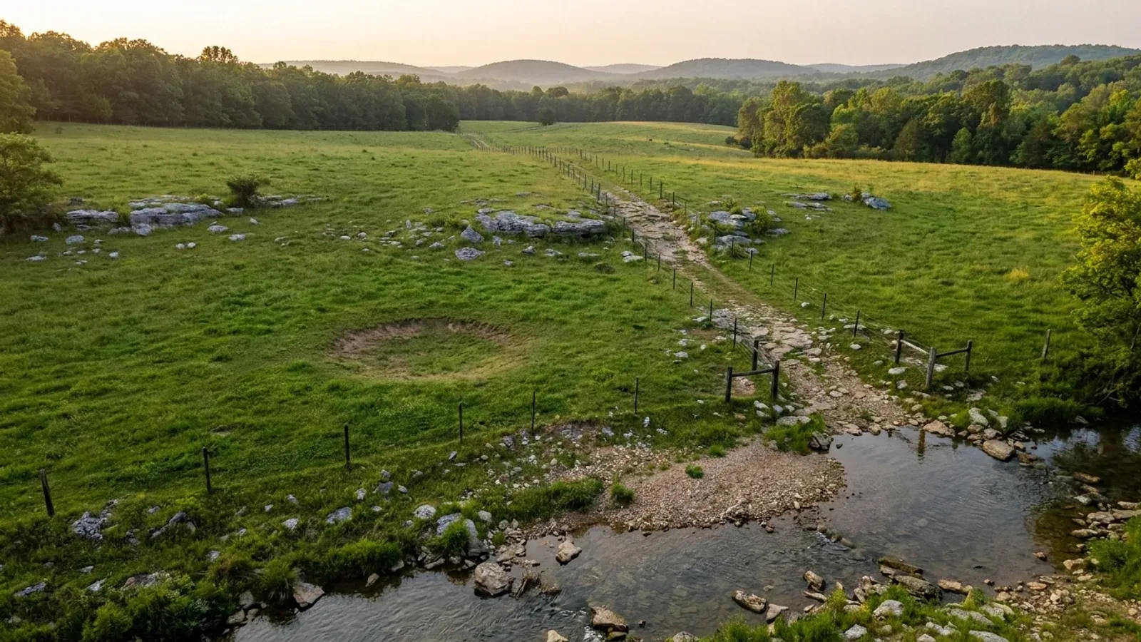
Madison County is the third county of the Fayetteville–Springdale–Rogers metropolitan area and the only part of it that still has land in quantity: 834 square miles carrying 18,410 people, about 22 to the square mile, with a median farm of 127 acres and a population growing 11.4% since 2020. It is also the part of that metro where almost nobody issues a building permit — the county's own department directory names a Road and Bridge Department, an EMS, a Solid Waste office, three libraries and a combined 911 Addressing and Flood Plain Office, and no building department at all. What decides a build here is not a permit counter; it is the ground, and two thirds of the county is mapped at 12 percent slope or steeper.
Madison County at a glance
- County
- Madison County
- Population
- 18,410
- ZIP codes
- 72740, 72742, 72738, 72773, 72776, 72752, 72760, 72721
- Site visits
- Madison County is inside our regular Northwest Arkansas working area, so site walks on Kings River, War Eagle and upper White River ground are ordinary scheduling rather than a special arrangement.
Building conditions in Madison County
The State's code reaches every parcel in Arkansas, including rural and unincorporated land. What is not everywhere is the office that checks it: a city or county is authorised to set up a building department, not required to, and a great deal of rural Arkansas never has. So the first question on any parcel is not what the code says — that part travels — but whether anyone here issues a permit, inspects the work, or publishes the design criteria your drawings still have to satisfy. Where nobody does, the obligation does not go away. It just moves to the appraiser, the insurer, your lender and whoever buys the place from you.
Also worth knowing before you build in Madison County
- The county's biggest soil is clay over shale you can rip with a dozer
- Enders covers about 125,532 weighted acres of Madison County — roughly 23 percent of the survey area, and half again as much as the next soil. Its Official Series Description calls Enders 'deep, well drained, very slowly permeable soils that formed in loamy and clayey residuum from shale', puts the average clay content in the upper 20 inches of the Bt horizon at 35 to 60 percent, and describes the Cr horizon as 'level bedded, extremely acid, soft, platy, shale bedrock' whose 'hardness usually increases with depth, but the shale can be ripped with heavy earth moving equipment.' Depth to bedrock runs 40 inches to more than 60. Practically: excavation is usually rippable rather than blastable, the subsoil is stiff clay that a slab has to be detailed for, and 'very slowly permeable' is the phrase that decides the septic field.
- On about 7 percent of the county, sandstone is within 20 inches of the surface
- Mountainburg is the third most extensive soil in Madison County at about 56,825 weighted acres, and its Official Series Description is blunt about what it is: 'Depth to Bedrock: 30 to 51 cm (12 to 20 inches). Depth Class: Shallow', over 'slightly weathered, horizontally bedded, acid sandstone.' Its type location is on a Washington County ridgetop. Across the whole Madison County survey area SSURGO records a bedrock restriction within 51 cm on about 38,812 acres — 7.2 percent — within 102 cm on 98,073 acres, 18.3 percent, and within 152 cm on 231,026 acres, 43.1 percent. The Health Department's rule requires 18 to 36 inches of separation between the bottom of an absorption trench and bedrock depending on the soil, so on the shallow ridgetops the rock, not the perc rate, is what fails the site.
- A fragipan sits under about a tenth of the county, at 14 to 27 inches
- Nixa covers about 34,176 weighted acres of Madison County and is the reason the fragipan matters here. Its Official Series Description puts depth to the fragipan at 14 to 27 inches, describes the soil as 'moderately well drained, very slowly permeable', and has it forming 'in colluvium and loamy residuum weathered from cherty limestone' with 60 to 80 percent chert by volume in the lower horizons. SSURGO records a fragipan restriction on about 51,413 acres of the county, 9.6 percent. A fragipan perches water above itself through winter and spring; the Arkansas onsite wastewater rule treats it as a Restrictive Soil Layer and forbids monitoring wells from being installed below its top, and a shallow seasonal water table cuts the loading rate — and multiplies the drainfield area — far more than a slow perc test alone would suggest.
- Madison is one of the sixteen counties the state treats as low shrink-swell — and one of the karst counties
- Appendix I of the Arkansas State Board of Health's onsite wastewater rule, effective 5 September 2024, lists the counties 'to be exclusively considered as containing soils which may exhibit low shrink swell properties', and Madison is on it — the red Ozark residuum formed over limestone and chert gets treated as moderate hydraulic conductivity under § 7.3.2.1 rather than low. The same carbonate geology cuts the other way: USGS's digitisation of Ozark topographic quadrangles recorded 21 mapped sinkholes in Madison County, and rule § 6.2.9 requires any wastewater collection, treatment or renovation facility to be at least 100 feet from any sinkhole. So the clay under a Madison County slab behaves better than Delta clay, and the ground under the clay can dissolve.
- Madison is one of only twelve Arkansas counties in Climate Zone 4
- The 2014 Arkansas Energy Code replaces the IECC's own climate-zone figure with an Arkansas list, and Chapter 3 puts exactly twelve counties in Climate Zone 4 — Baxter, Benton, Boone, Carroll, Fulton, Izard, Madison, Marion, Newton, Searcy, Stone and Washington — with the other sixty-three in Zone 3. Madison County is Zone 4, the colder assignment, which drives higher envelope and insulation requirements than the same building would meet at Little Rock or Jonesboro. This is one of the very few genuinely statewide per-county design assignments Arkansas publishes: the code's Table R301.2 is otherwise blank and left to a local jurisdiction to fill in. The energy code's adoption duty falls on counties and cities that issue building permits, so in unincorporated Madison County the zone assignment is a design standard rather than something anybody checks at a counter.
- Ten million broilers, and a neighbour you should ask about before you buy
- The 2022 Census of Agriculture counted 10,061,554 broilers and other meat-type chickens in Madison County, plus 534,734 layers, 691,674 turkeys and 57,392 cattle and calves, on 1,012 farms. Poultry and eggs alone accounted for $344,816,000 of the county's $380,547,000 in agricultural sales, and livestock, poultry and products are 98 percent of the total against 2 percent for crops. That matters to a homesite buyer in a practical way: a 40-acre tract in Madison County is quite likely to adjoin an active broiler operation or a litter-spread pasture, the county has no zoning to separate the two, and there is no local ordinance regulating the distance. Ask what the neighbouring buildings are and which way the prevailing wind runs before the offer, not after.
- Madison County's farms are the right size and the county still has woodland
- Of the county's 1,012 farms, 37 are 1 to 9 acres, 203 are 10 to 49, 368 are 50 to 179, 286 are 180 to 499, 85 are 500 to 999 and 33 are 1,000 acres or more — a distribution centred exactly on the size a barndominium buyer wants, and the opposite of the Arkansas Delta, where median farm sizes run into the hundreds and the parcels are not purchasable at homesite scale. Land in farms totals 236,155 acres, 44.2 percent of the county, and it splits 58,279 acres of cropland, 91,834 of pastureland, 74,913 of woodland and 11,129 other. Average farm size is 233 acres, and the median falls inside the 50-to-179-acre class at about 127. The woodland share is why so many Madison County listings are described as hunting land: a wooded 40 is common, and a wooded 40 on a 30 percent slope is not a homesite.
- Huntsville zones for acreage — two acres, 200 feet wide, farms permitted
- Most small Arkansas cities have no district larger than a quarter acre. Huntsville does. Its R-E Residential Estates district is written 'to protect farm and ranch lands, as well as the rural residential environment' and 'to provide for single-family development on large lots and parcels', with a minimum area of 2 acres, a minimum width at the building line of 200 feet, a 30-foot front setback, 20-foot side (30 street side) and 25-foot rear. Farms and Ranches other than concentrated feeding operations are a permitted use in it, along with accessory buildings, lakes and drainage basins. Each principal structure must be a minimum of 576 square feet of enclosed and heated living space on a permanent foundation, buildings may not exceed 35 feet, and accessory buildings set back 5 feet from side or rear lot lines. R-1, by contrast, has a 12,000 square foot minimum.
- In Huntsville the Planning Commission approves the building permit
- The City of Huntsville publishes its own permit sequence, and it is unusual. The city's Zoning and Building page states that once documents are received 'you will receive an email from the city confirming all required documents have been received and are being reviewed by the Planning Commission' and that 'once approved by the Planning Commission, you will receive another email with a link to pay the permit fee online or you can pay in person by check at City Hall.' New single-family construction requires the building permit application, a site plan showing setbacks from all property lines and other buildings on the lot, and a building address from the 911 addressing office on (479) 738-1908. A permit is required for framing of any type, new foundations, and any change or addition to electrical wiring or plumbing; it is not required for new windows, a new roof, new siding or a driveway.
- War Eagle Creek rises here, and it is one of Beaver Lake's named subwatersheds
- Beaver Water District states on its own site that the Beaver Lake watershed 'drains to Beaver Lake, the drinking water source for Northwest Arkansas', lists War Eagle Creek among the five named subwatersheds it maps, and says it supplies water from Beaver Lake to Fayetteville, Springdale, Rogers and Bentonville, who distribute it to more than 400,000 people, at an average of 80 million gallons a day. USGS operates gauges on War Eagle Creek near Witter, near Huntsville and near Hindsville — all three inside Madison County. The county is a divide: War Eagle runs north-west into Beaver Lake, the Kings River runs north toward the state line with gauges above Kingston, near Kingston and near Alabam, and the upper White River runs out of the Boston Mountains past gauges at St. Paul and Combs. Gauge elevations run from about 1,166 feet near Hindsville to about 1,380 feet near Alabam. A Madison County parcel is almost always in somebody's headwaters, which is the practical reason septic siting is looked at hard here and why the rule's 100-foot setback from a stream or lake high-water mark bites on narrow valley tracts.
- Madison County sits higher on the New Madrid gradient than the rest of the metro
- The USGS ASCE 7-16 design-maps service, queried at Huntsville at Risk Category II and the Site Class D-default that the residential code itself assumes, returns S_s 0.191 g, S_1 0.102 g and S_DS 0.204 g. Applying the residential code's own Table R301.2.2.1.1 to that S_DS gives Seismic Design Category B, and a detached one- or two-family dwelling picks up the code's seismic package only at D-zero and above — so the seismic provisions do not attach to a Madison County house. The comparison is the interesting part: the same computation returns 0.172 g at Fayetteville, 0.169 g at Rogers and 0.163 g at Bentonville. Madison County is the eastern edge of the metro and therefore its highest ground-motion county, by a margin that is real and still small.
- One office does 911 addressing and the floodplain — and the county's first flood map is from 2008
- Madison County's Departments listing gives the Emergency 911 Addressing Office and the Flood Plain Office as a single entry with a single coordinator, Audra Bolinger, on (479) 738-1908. That is the whole of the county's routine involvement in a rural build: the address the house will carry — Madison County numbers its rural roads as 'Madison 7400', 'Madison 1620' and so on, and every justice of the peace's own listed address uses that form — and whether the site is in a mapped Special Flood Hazard Area. FEMA's community status data lists Madison County as NFIP community 050449, participating, with an initial Flood Hazard Boundary Map dated 14 June 1977 and an initial Flood Insurance Rate Map only on 1 August 2008; the City of Huntsville is separately listed as community 050335. Note the trap in the same dataset: community 050189, 'MADISON, CITY OF', is in ST. FRANCIS COUNTY on the other side of the state and has nothing to do with this county.
https://soilseries.sc.egov.usda.gov/OSD_Docs/M/MOUNTAINBURG.html
https://healthy.arkansas.gov/wp-content/uploads/Onsite_Wastewater_Rule.pdf

The expensive surprises are in the ground, not the building
What moves an Arkansas budget is usually below grade, and the state hands you a different problem depending on where you stand. In the Delta the issue is shrink-swell clay that moves with the season, and it is the reason a wide, light building with a big slab and a big door opening is the shape most at risk. Along the Fall Line there is a second, separate clay belt with nothing to do with the Delta at all. Up in the Ozarks the question inverts: what matters is not what the slab sits in but what is under it, because that limestone is full of solution cavities and the collapses arrive with no prior indication at the surface. And on Crowley's Ridge, where Jonesboro and Paragould sit, it is fine wind-blown loess that stands up in a vertical cut and then erodes out from under whatever you put on it. The same ground decides your wastewater system, which is the gate that most often moves a rural build's schedule — and it is soils that decide it, not the size of the house. So the site work, the foundation and the wastewater get resolved together rather than one at a time. We price the dirt before we price the building.
What we build in Madison County
All nine services are available in Madison County. What a build costs depends far more on the parcel than on square footage, so we price against your land rather than publishing a rate card.
Custom Barndominium Plans
Barndominium floor plans, elevations and engineered documents drawn to your parcel — and to the design numbers your Arkansas jurisdiction publishes.
Barndominium Kits
Engineered barndominium shell packages for Arkansas land, drawn to a named jurisdiction's criteria rather than to a national vendor's generic spec.
Turnkey Barndominium Builds
Land through handover under one contract, and a straight answer on what actually gates a barndominium build on rural Arkansas land.
What a build looks like
Three stages every Madison County project passes through, from a raw parcel to a finished home. Site work first, because that is where the budget is decided.

The parcel
Zoning, setbacks, flood zone and utility access get checked before anything is drawn.
Pad and permit
Clearing, grading and a compacted pad, while the submittal works through whichever office issues the permit where you are building.

Frame to finish
Shell erected and dried in, then systems, insulation and interior finish through to CO.
Those are the rules where you are building in Madison County. Tell us what you want to build and we will draw it to them.
Where we build around Madison County
Madison County and the rural land around it. The buildable acreage for a project this size usually sits outside the city limits, which is frequently what changes who issues your permit.
Keep reading
The questions that usually come next once you know what Madison County allows.
Barndominium Cost Guide
Sourced per-square-foot ranges by tier and by size, with a calculator built on the same figures.
Read itThe Arkansas Building Code
The code applies statewide, including unincorporated land — but a jurisdiction is only authorized to establish a building department, so on rural residential land there is often no counter at all.
Read itBuying Land in Arkansas
Where acreage is actually purchasable in homesite sizes, and what percolation, slope and the onsite wastewater rule do to a parcel before anything is designed.
Read itNearby areas we build in
Others we cover nearby. One may be a county, another a city inside it — and since March 2025 the soft edge between them is gone, because the cities' extraterritorial jurisdiction was abolished outright and that land reverted to the counties. So the office that issues the permit, the fees it charges, the zoning and whether anyone publishes design criteria at all can differ from one card to the next, and the boundary that decides it may have moved recently.
Building in Madison County: common questions
9 questions we get asked most often about building in Madison County. If yours is not on the list, ask it directly.
Do I need a building permit to build a barndominium in Madison County, Arkansas?
If nobody issues a building permit here, what actually still applies to my build?
Is Madison County about to adopt zoning? What happened with the planning board?
What is the septic process here, and why does everyone say it is the real permit?
What will the soil test actually find on a Madison County parcel?
How much does the slope here really matter?
Can I really buy usable acreage in Madison County, and what should I check?
What design numbers should be on my Madison County plans?
Do I still get inspections, and how do I protect resale if nobody signs off?
Building in Madison County?
Start with the plan. Tell us what you want to build and we will draw it, then confirm which office issues the permit for your parcel, what it will let you put there, and what wind load it has to meet. That conversation costs nothing.